GEOSPATIAL SERVICES AND SOLUTIONS
GEOSPATIAL SERVICES AND SOLUTIONS
Geographic Information Systems (GIS) is a powerful decision-making technology
GIS makes it possible to collect information about the earth’s surface and link it to location through a geographic database (geodatabase). The resultant map gives us a better grasp of how data interrelates and the ability to analyze it because the map shows relationships and patterns not readily apparent in rows and columns.
Our GIS services include:
- Hydrologic and Hydraulic Analysis — supporting stormwater management and floodplain planning
- Lead Service Line Replacement (LSLR) Planning — aligning with regulatory compliance and developing future replacement plans
- Land Use and Development Planning — including zoning, annexation analysis, and growth management
- Transportation and Pavement Management — asset mapping and condition assessments (PCI)
- Permitting and Development Review — streamlining approval processes with GIS-enabled systems
- GIS Data Integration — converting CAD, field data, and survey records into GIS databases
- Interactive Web Maps and Dashboards — sharing data with staff, residents, and contractors
- Field Data Collection — using GPS and mobile application tools to capture real-world conditions
- Asset Management — helping cities build datasets for long-term maintenance planning (Source Water Protection Planning [SWPP])
- Emergency Planning and Response — identifying flood-prone areas for development planning, and mapping fire protection boundaries and response times
GEOSPATIAL SERVICES AND SOLUTIONS
PROJECT EXPERIENCE
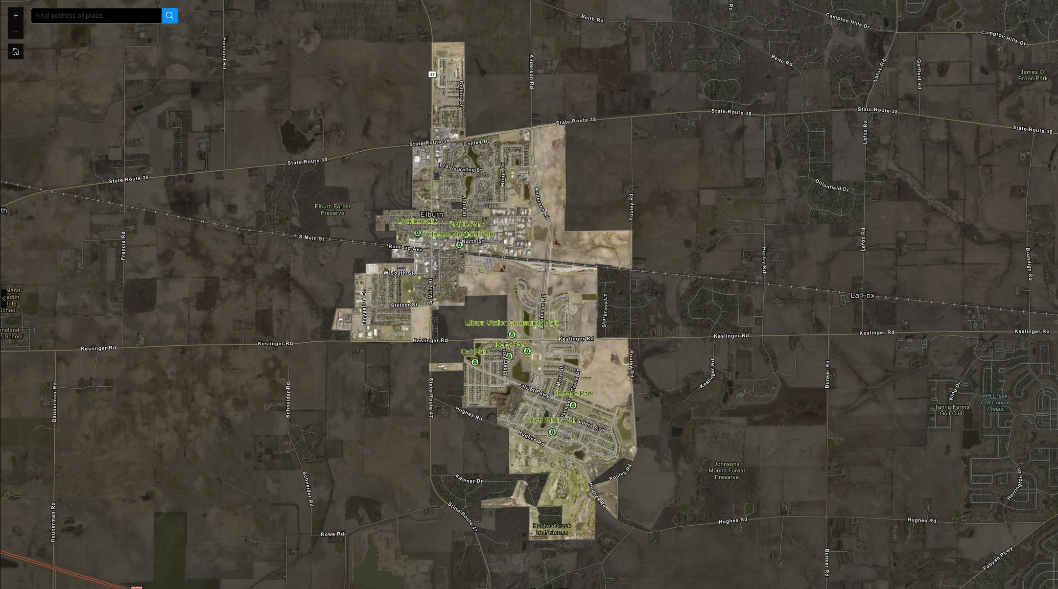
Village of Elburn Parks

Sandwich Zoning Map
Elkgrove Village Manhole Rehab Tracking Reports
Elgin LSLR Construction Tracking
Why Our Clients Choose Us
Today, EEI has a staff of over 80 and has the privilege of serving our clients. Our philosophy of putting our clients first has led to many longstanding client relationships.
Outstanding Service. Every Client. Every Day.
Engineering Enterprises, Inc.’s philosophy of putting its clients first has led to many longstanding client relationships in northeastern Illinois and goes hand in hand with the EEI reputation of working diligently to enhance the quality of life and improve the health and welfare of the residents in the communities we serve.
STAY ALWAYS IN TOUCH
Subscribe to our newsletter to get it delivered straight to your inbox.